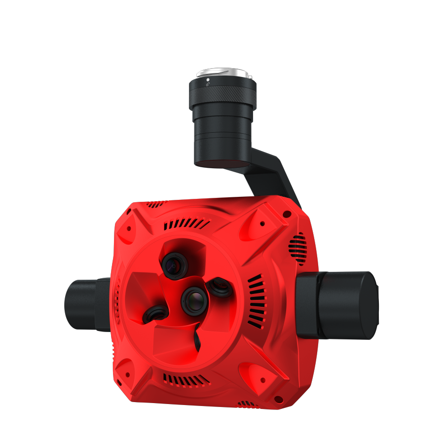
LiDAR (Light Detection and Ranging)
A remote sensing technology that uses laser pulses to measure distances to the Earth's surface. LiDAR sensors are commonly used in drones for mapping, topography, and 3D modeling, making them crucial for industries like construction and agriculture.
LiDAR (Light Detection and Ranging) represents a vital and transformative technology in the realm of remote sensing. It enables precise measurements of distances using laser pulses, which are essential for mapping and analyzing various landscapes. Understanding terms like LiDAR is important, as they provide insight into how modern technologies are reshaping industries, enhancing our ability to collect and interpret spatial data.
What is LiDAR (Light Detection and Ranging)?
LiDAR is a remote sensing technology that employs laser pulses to calculate distances to the Earth's surface. This sophisticated technique measures variations in time for the laser light to travel from the sensor to an object and back. As a result, LiDAR sensors are frequently integrated into drones for applications such as mapping, topographic analysis, and 3D modeling. This technology has become instrumental across various sectors, including construction and agriculture, where accurate geographical data is critical for planning and decision-making.
Key Concepts
Laser Pulses: Short bursts of laser light emitted from a LiDAR sensor to measure distance.
Point Cloud Data: The collection of data points resulting from LiDAR measurements, representing the 3D coordinates of surfaces.
Echo Reception: The process of receiving reflected laser signals, which allows for distance calculations.
GPS Integration: The use of Global Positioning System technology to georeference LiDAR data.
Processing Algorithms: Techniques and software tools designed for interpreting point cloud data into usable formats.
Applications and Relevance
LiDAR plays a significant role in various fields, enabling innovative solutions and efficiency improvements:
Topographic Mapping: Creating detailed maps of landscapes, showcasing elevation and terrain features.
Forestry Management: Assessing tree heights and biomass for sustainable forest practices.
Urban Planning: Informing infrastructure development through accurate ground surface models.
Flood Modeling: Analyzing and predicting flood extents and impacts by assessing topography.
Precision Agriculture: Optimizing crop management by mapping field characteristics and soil variability.
Challenges and Considerations
While LiDAR is a powerful tool, it does come with challenges that users should keep in mind:
Data Volume: The large amounts of data generated can require significant storage and processing capabilities.
Cost: High-quality LiDAR systems and processing software can be expensive to acquire and maintain.
Data Interpretation: The complexity of point cloud data may necessitate specialized knowledge and training to analyze effectively.
Environmental Factors: Weather conditions, such as fog or heavy rain, can affect the accuracy of measurements.
Future Trends and Innovations
As technology evolves, LiDAR continues to advance, leading to exciting trends:
Miniaturization: Development of smaller, lighter LiDAR sensors for increased mobility and integration with various platforms.
Integration with AI: Leveraging machine learning algorithms to automate data processing and enhance analysis of LiDAR datasets.
Multispectral LiDAR: Combining LiDAR with other sensors to capture additional data types, providing insights beyond mere topography.
Real-Time Processing: Advancements in processing capabilities that enable real-time data analysis for immediate applications.
LiDAR (Light Detection and Ranging) stands at the forefront of remote sensing technologies, offering unprecedented insights into the Earth's surface. Its applications range from urban planning to precision agriculture, affecting how industries operate and make data-driven decisions. As this technology continues to develop, LiDAR's impact will only grow, enhancing our understanding of the environment and improving our ability to address complex challenges across various sectors.