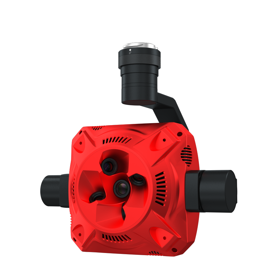
DroneSense
A comprehensive drone management platform that allows organizations to control and monitor drone fleets in real-time. It is often used by public safety teams for coordination during emergency responses.
The rapid advancement of drone technology has transformed various industries, particularly in public safety and emergency response. Understanding terms like DroneSense is essential as it encapsulates the integration of drone operations into real-time situational awareness and resource management. Platforms like DroneSense highlight how technology can enhance coordination, efficiency, and safety during critical situations, enabling organizations to maximize their operational potential.
What is DroneSense?
DroneSense is a comprehensive drone management platform that allows organizations to control and monitor drone fleets in real-time. It is particularly favored by public safety teams during emergency responses, facilitating efficient collaboration and information sharing. By streamlining drone operations, DroneSense enhances situational awareness and ensures that teams have access to crucial aerial footage and data when it matters most.
Key Concepts:
Real-Time Monitoring: Ability to track drone flights and gather data live, providing immediate insights into operational status.
Fleet Management: Tools for overseeing multiple drones, including scheduling flights, maintaining equipment, and deploying resources effectively.
Data Integration: Linking drone data with existing systems, allowing for a cohesive view of ongoing operations and improved decision-making.
Collaboration Tools: Features that foster teamwork among responders, such as shared dashboards and communication channels.
Applications and Relevance:
Emergency Response Coordination: Used by firefighters and law enforcement to assess situations quickly and coordinate ground teams.
Search and Rescue Missions: Drones equipped with thermal imaging help locate missing persons in challenging terrains.
Disaster Assessment: Assists in evaluating damage after natural disasters, providing real-time data for recovery efforts.
Public Event Monitoring: Used for crowd management and safety assessments at large gatherings, enhancing situational awareness for security teams.
Challenges and Considerations:
Regulatory Compliance: Navigating complex regulations and ensuring adherence to local and national drone laws.
Data Security: Protecting sensitive aerial data from potential breaches or misuse, particularly in public safety contexts.
Technical Reliability: Dependence on technology means any malfunction can hinder operations during critical moments.
Training Needs: Ensuring personnel are adequately trained in using the platform and drones to maximize effectiveness.
Future Trends and Innovations:
AI Integration: Leveraging artificial intelligence to process aerial data faster and make predictive assessments during emergencies.
Enhanced Autonomy: Developments in drone technology that allow for autonomous flight paths and decision-making in real-time.
Interoperability: Growing focus on making drone systems compatible with various software and operational platforms used by different organizations.
Expanded Use in Smart Cities: Increasing integration of drone management systems within smart city frameworks to streamline urban monitoring and resource management.
DroneSense serves as a pivotal component in the evolving landscape of drone technology, especially within public safety sectors. By facilitating real-time control and monitoring of drone fleets, it plays a significant role in enhancing emergency responses, providing valuable data during critical events, and optimizing resource allocation. As trends continue to evolve, understanding platforms like DroneSense will be crucial for organizations aspiring to embrace technological innovations in their operations.


