


── Secure Enterprise Drone
ACSL SOTEN Drone
NDAA compliant enterprise drone for secure inspection and mapping missions.
10+ Years of deployment experience ● 4 Stages: consult, integrate, deploy, support ● 1 Partner from mission design through support
WHAT DO YOU WANT A TO DO?
A secure, compact enterprise drone designed for inspection, surveying, emergency response and infrastructure missions. SOTEN combines portable deployment with professional imaging capabilities and security focused operation for demanding commercial and government applications.


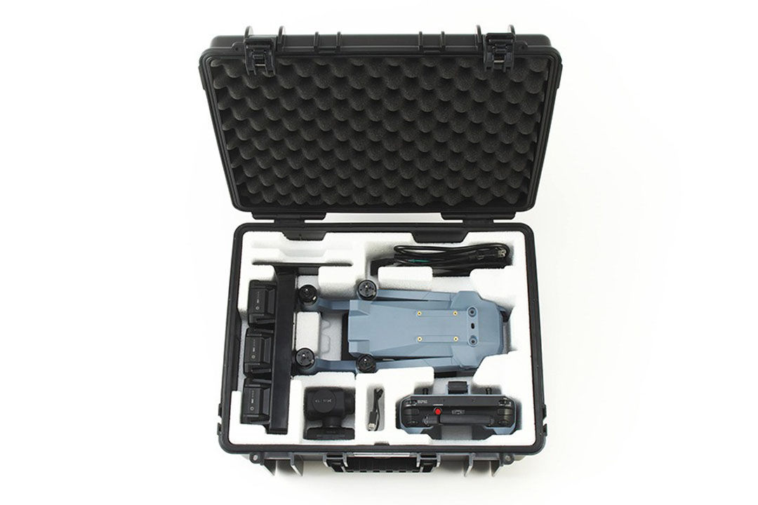


ACSL SOTEN Drone
Secure compact drone for inspection, mapping, surveying and public safety missions.
Explore
FEATURED CAPABILITIES
Proven For Different Missions
ACSL offers secure industrial drones designed for inspection, surveying, monitoring, and public sector operations. Explore its platforms to find the right fit for your mission.

Oil & Gas
Industrial inspection, methane detection, site monitoring, and asset intelligence for demanding oil and gas environments.

Utilities
Smarter inspection, mapping, and maintenance support for power, water, and other essential utility networks.

Construction
Surveying, progress tracking, site documentation, and inspection tools built for modern construction projects.

Mining
Advanced mapping, monitoring, and inspection capabilities for safer and more efficient mining operations.

Ranching/Agriculture
Advanced drone and sensing solutions for ranching and agriculture, including livestock monitoring, crop analysis, pasture assessment, field mapping, and precision spraying.

Public Safety
Mission focused systems for emergency response, search and rescue, security, and situational awareness.

Environmental
Technology for emissions tracking, environmental assessment, habitat monitoring, and large area data collection.

Transportation
Infrastructure monitoring, corridor mapping, traffic analysis, and inspection support across transportation networks.

Real Estate
Property mapping, site assessment, development planning, and visual documentation for real estate projects.

Insurance
Fast property documentation, damage assessment, and visual evidence collection for insurance workflows.
CONSULT ● SELECT ● INTEGRATE ● DEPLOY ● SUPPORT