Photogrammetry
A process that uses drone-captured images to create precise 3D models and maps of landscapes or structures.
Photogrammetry stands out as one of those key concepts, bridging the gap between visual data and analytic insights. This method not only enhances our capabilities in surveying and modeling but also improves our understanding of landscapes and structures, making it an indispensable technique in modern technology and research.
What is Photogrammetry?
Photogrammetry is a process that uses drone-captured images to create precise 3D models and maps of landscapes or structures. By analyzing multiple photographs taken from different angles, this technique reconstructs the geometry of objects or terrains, allowing for detailed visualization and analysis. It combines principles from both photography and geometry, making it accessible for both advanced users and those new to the field.
Key Concepts
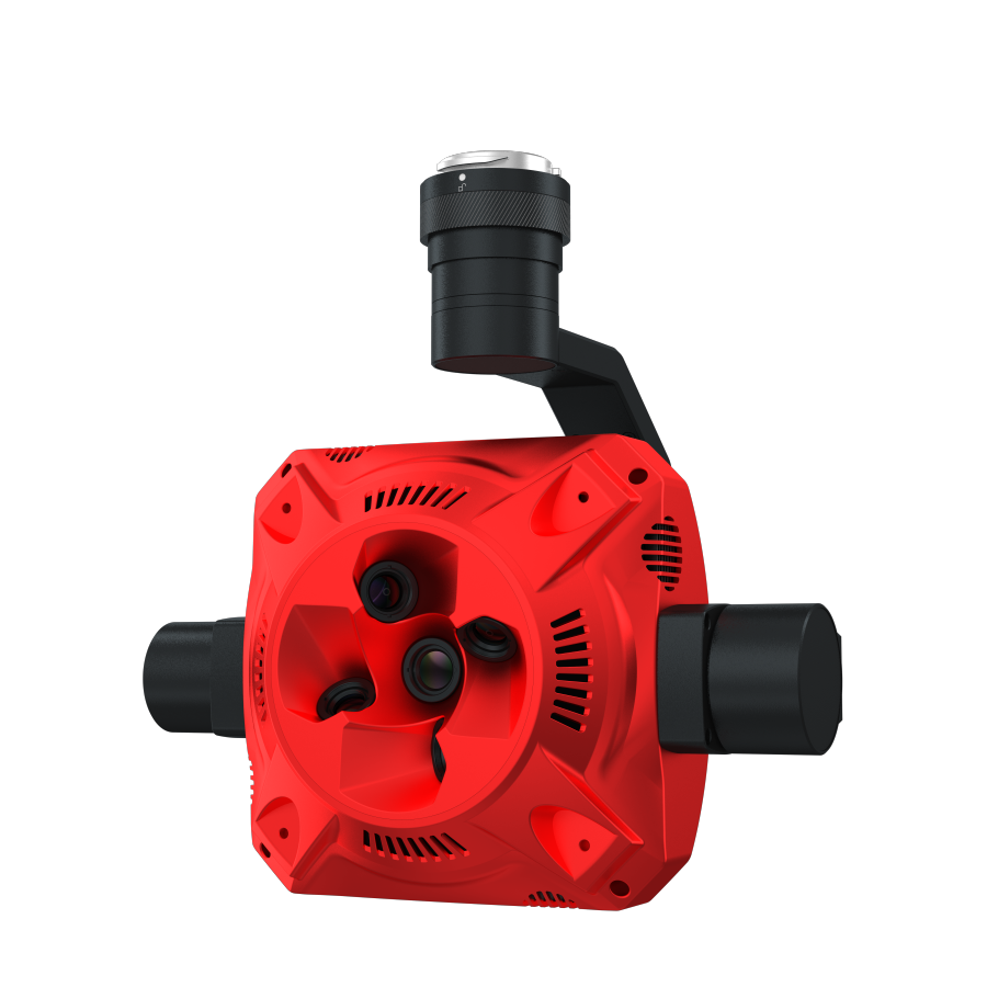
Aerial Imaging: Utilizes drones or aircraft to capture high-resolution images from the air.
Image Matching: Involves identifying common points across multiple images to ensure accuracy in modeling.
3D Point Cloud Generation: A collection of data points in 3D space, formed based on the analyzed images, which can later be used for modeling.
Georeferencing: The process of aligning the 3D model with geographic coordinates to ensure its accuracy and usability in mapping contexts.
Applications and Relevance
Urban Planning: Helps city planners visualize land use and develop infrastructure projects by providing accurate 3D maps.
Archaeology: Aids in documenting and preserving archaeological sites through detailed 3D models, allowing for remote study.
Construction: Streamlines project management by tracking progress and issues on construction sites with up-to-date models.
Environmental Monitoring: Supports the analysis of topographical changes over time, crucial for assessing erosion, habitat loss, or restoration projects.
Challenges and Considerations
Data Processing Time: The generation of accurate 3D models can be time-consuming, requiring robust computing resources.
Weather Dependence: Drone operations can be hindered by weather conditions, affecting the quality and quantity of captured images.
Accuracy Limitations: While photogrammetry can provide high precision, the results can still be affected by factors like image overlap and camera calibration.
Legal and Privacy Issues: Capturing images of private properties or sensitive areas may raise legal complications requiring careful navigation.
Future Trends and Innovations
Integration with AI: The use of artificial intelligence for enhanced image processing and pattern recognition is on the rise, paving the way for more automated workflows.
Real-Time 3D Mapping: Advances in drone technology may facilitate continuous, real-time updates to 3D models, providing dynamic representations of changing environments.
User-Friendly Software: The development of intuitive software solutions that simplify photogrammetry processes for non-experts is becoming more prevalent.
Cross-Disciplinary Collaborations: Combining photogrammetry with technologies like GIS (Geographic Information Systems) and augmented reality for comprehensive analyses and applications.
Photogrammetry is a pivotal process in the realm of digital mapping and modeling, significantly impacting various sectors from urban planning to environmental conservation. Its ability to convert aerial images into detailed 3D models not only enhances our understanding of landscapes and structures but also provides solutions to complex challenges. As technology evolves, so will the capabilities of photogrammetry, solidifying its role as a transformative tool in our increasingly data-driven world.